
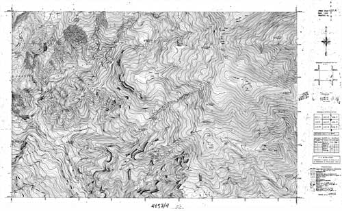
This product includes scanning and georeferencing topographic diagrams 1: 5,000 of the Hellenic Army Geographical Service. We offer:
- scanning of the original maps at a resolution of 300 dpi,
- georeference(HATT or GGRS87),
- file export (DWG, dxf, shp, etc.).