
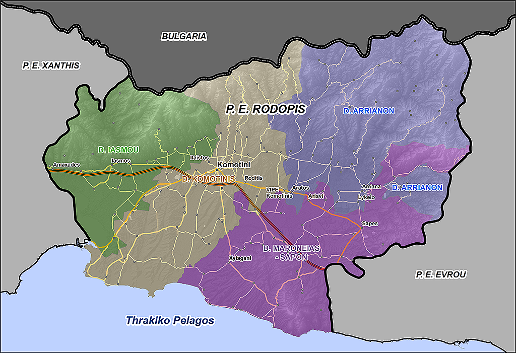
Full Road Νetwork – national, provincial, rural, forest
This product includes:
- The National Network E1, E2, E3 with coding YPEHODE* and names,
- The District Network K1, K2 with YPEHODE* coding and names,
- The Network that connects 13,500 settlements with the National and Provincial Network.
The road network bears name, hierarchical information (“highway”, “highway”, “passable dirt road”, etc.) and one-way street, while for large cities there are also numbers.
Also note that we offer the complete dirt road network for the entire country.
*YPEHODE: Ministry of Environment Spatial Planning and Public Works
Dirt Ρoad and Ηiking Τrails Νetwork
GEODATA is the only company in Greece that has the digital map of the complete dirt road network for the entire country.
At the same time, material has been digitized and collected for all European and national hiking trails, as well as many local hiking trails for both mainland and island Greece.
It can be used mainly on local maps of tourist activities (eg hiking, mountaineering, off-road driving, etc.), in combination with the appropriate points of interest.
Cities / Settlements
GEODATA has detailed digital maps for more than 600 cities in Greece with the following basic levels of information:
- road network with street names,
- street numbers,
- direction (one-way streets),
- postal codes,
- neighborhoods for Athens and Thessaloniki.
Settlement Βoundaries <2,000 Ιnhabitants
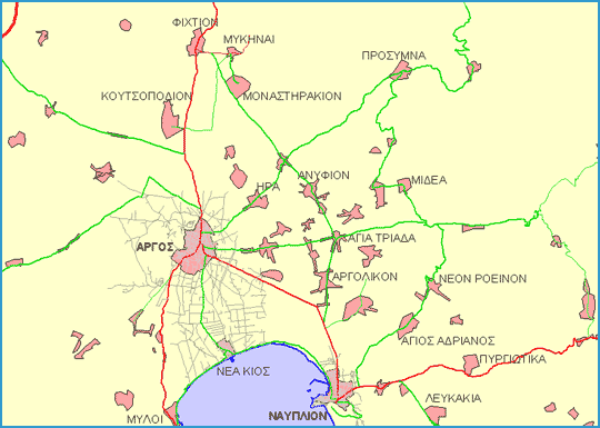
This product includes the polygonal boundaries of the residential areas with a population of less than 2,000 inhabitants, for the entire country, resulting from the indexing of the respective Sheets of the Government Gazette (Government Gazette). The geospatial database includes the number of the Official Gazette.